Loading this page…

Loading this page…
About
Rous Head Harbour is part of the North Fremantle working waterfront, with marina/harbour context near Fremantle Ports and planned recreational marina capacity historically proposed for the area.
Service area: North Fremantle, Perth Metro, WA
Keep exploring
Fremantle Ports identifies the broader Fremantle port as a major working port, while state planning releases for Rous Head referenced a recreational marina proposal with more than 100 boat pens plus associated tourism and commercial uses. Confirm current berth availability and operator details before presenting it as an active public marina.
Berthing at Rous Head Harbour is oriented to permanent commercial occupants: fishing industry vessels, workboats and the marine businesses of the Northport precinct hold berths under Fremantle Ports arrangements, and casual recreational berthing is not offered. The core service is boat lifting and refit. SFM Marine operates lift, launch and spray-down services at Northport, handling both leisure craft and commercial vessels for maintenance, repair and storage, and runs its wash-down operation through a closed-loop water treatment plant that recycles all treatment water, an environmental measure that matters in a harbour that drains to the port entrance.
A slipway and hardstand area support vessels that need time out of the water, and the precinct's trades cover mechanical, engineering and refit work, making this one of the main boat-yard addresses on the Fremantle waterfront alongside the lifters in the Fishing Boat Harbour next door. The harbour's other major facility is the Rottnest Express Northport terminal: the operator runs its Rottnest Island ferries from here with ample car parking, and access is strictly by car since walking, cycling and scooters are prohibited inside the port area.
There is no public fuel wharf inside Rous Head Harbour itself; the nearest fuelling berth is Molfetta Quay in the adjoining Fremantle Fishing Boat Harbour, where Baileys Marine Fuels provides diesel and unleaded petrol on a 24-hour fuel-card system. Security follows port rules rather than marina practice, with controlled vehicle access and fenced operational areas, and there are no showers, laundry, chandlery or visitor amenities within the harbour; crews working on boats here use the cafes and shops of the Fishing Boat Harbour precinct a few hundred metres south.
In short, Rous Head functions as Fremantle's compact boat-yard harbour: you berth here because you work here or because your boat is on the hard, not as a cruising destination.
Rous Head Harbour opens straight onto the busiest stretch of water in Western Australia: the Fremantle harbour entrance channel, where container ships, vehicle carriers and the tug and pilot fleet move around the clock. Any small craft working in or out of Rous Head needs to stay clear of the main channel, monitor VHF for port traffic and expect wash from shipping. The compensations are excellent cruising grounds close by.
Gage Roads, the open roadstead off the river mouth, is the standard jumping-off point for Rottnest Island, which lies about 19 kilometres offshore; the island's Thomson Bay is an easy day trip and the reason the Northport ferry terminal exists. South along the coast, Success and Parmelia banks demand care from strangers, while the sheltered waters of Cockburn Sound lie beyond the South Mole. Inside the river, a few minutes upstream, the waterfront transitions to the recreational marinas and yacht clubs of East Fremantle and beyond.
Practicalities ashore reflect the port setting: there is no chandlery or supermarket at Rous Head, but the Fremantle Fishing Boat Harbour next door has cafes and seafood restaurants, the Fremantle city centre with full provisioning is five minutes by car, and the Cappuccino Strip is close enough for a crew meal. For history-minded visitors, the harbour is a monument to Fremantle's 1990s port expansion; the land under the Northport sheds was seabed until the Inner Harbour deepening project deposited its spoil here.
Cyclone season brings a steady trickle of prawn trawlers and pearling vessels down from the north seeking refuge berths, and the lift yard hums hardest in the shoulder months when owners schedule antifouling before summer.
Satellite imagery at four heights, from the wider harbour to the berths.

Plan passages by overlaying predicted tides and tidal streams onto your charted route, timing departures to use favourable streams through constrictions and offshore features, avoiding local hazards (shoals, banks, strong rips) and building contingency waypoints. Confirm with current official tide tables, local pilotage notes and recent Notices to Mariners before departure.
Explore →
Expect very different seasonal systems across Western Australia: the south‑west (Perth to Albany) has a strong summer afternoon sea breeze (the “Fremantle Doctor”) and winter westerly fronts, while northern WA follows a wet/dry monsoonal cycle with strong seasonal onshore winds, thunderstorms and cyclone risk in the wet season. Local headlands, estuaries and tidal flows often change what you actually feel on the water, so learn the local timing and sheltered venues first.
Explore →
Choose an anchor that penetrates the seabed you expect, carry enough chain and scope, set by reversing under control until the anchor bites, then test and monitor frequently — in sand and clean mud a plough or fluke-style can work well, in weed look for clean patches or use a claw/Delta-style or dedicated weed anchor and more scope.
Explore →
Pick a protected bay, estuary or river reach where you can rig, launch and arrive on calm water within a short, sheltered transit; choose a site with a good ramp or jetty, clear recovery options and a nearby sailing club, marina or commercial operator for local knowledge and help.
Explore →Practical guide for recreational sailors approaching Fremantle Harbour: what to expect on the approaches, local weather and tidal influences, navigational considerations, berthing and facilities, communications and safety checks, common mistakes and sensible next steps.
Explore →Practical guide for recreational sailors navigating the Swan River and coastal waters around Perth. Covers local weather patterns, tides and currents, river navigation, launching and berthing options, safety equipment, common hazards, and step-by-step pre-departure and on-water checklists tailored to Western Australian
Explore →A practical, step‑by‑step guide for recreational sailors on Sydney Harbour covering navigation, local weather and tides, safe anchoring, berthing, common routes, rules of the road, and useful checklists tailored to Australian conditions.
Explore →
A practical checklist and explanation of the safety equipment recreational sailors should carry in Australian waters, with how to choose gear, use it correctly, and common mistakes to avoid.
Explore →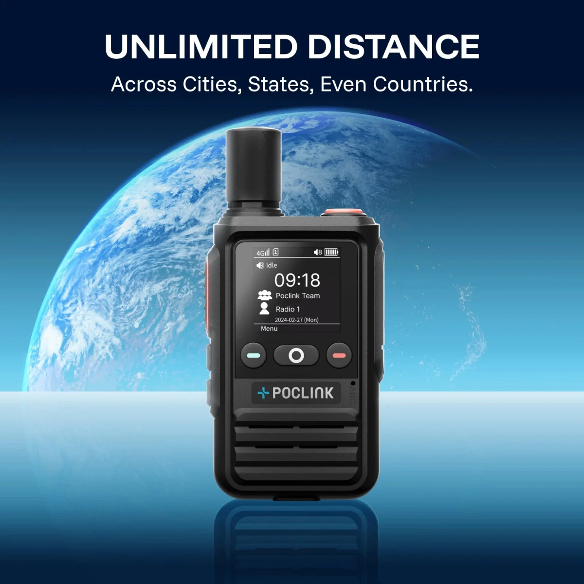
The entry-level Poclink push-to-talk radio: 4G mobile network only, three years of service included, sold as a two-pack for half the price of the Pro and Ultra.
Explore →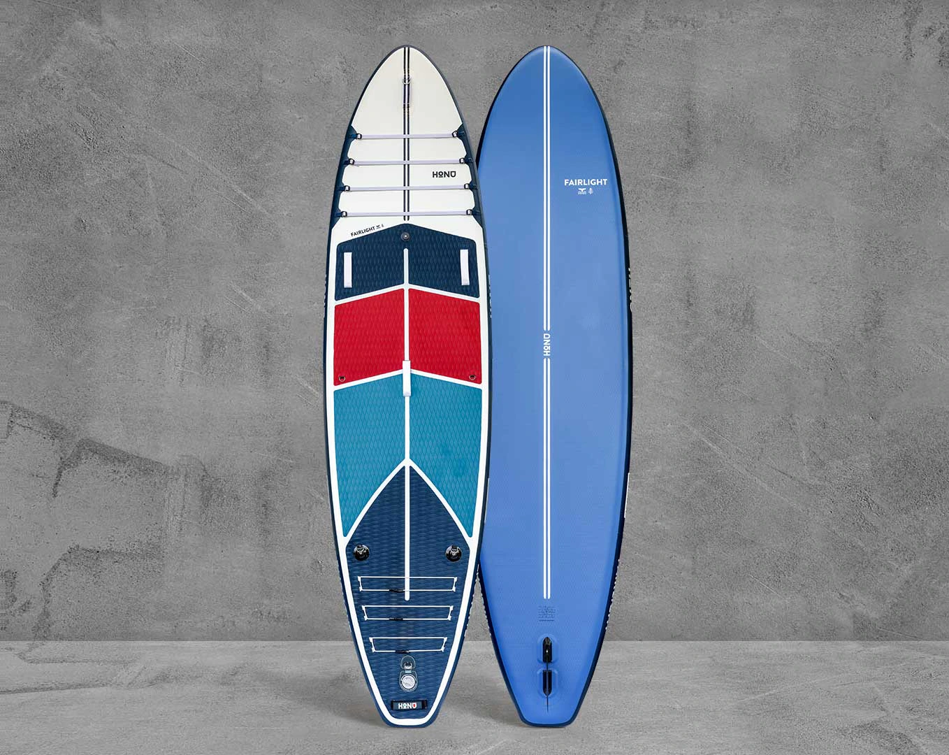
A wide, high-volume inflatable paddle board, 11'6 long and 34 inches wide with 342 litres of volume, built for stability, tandem paddling and carrying gear.
Explore →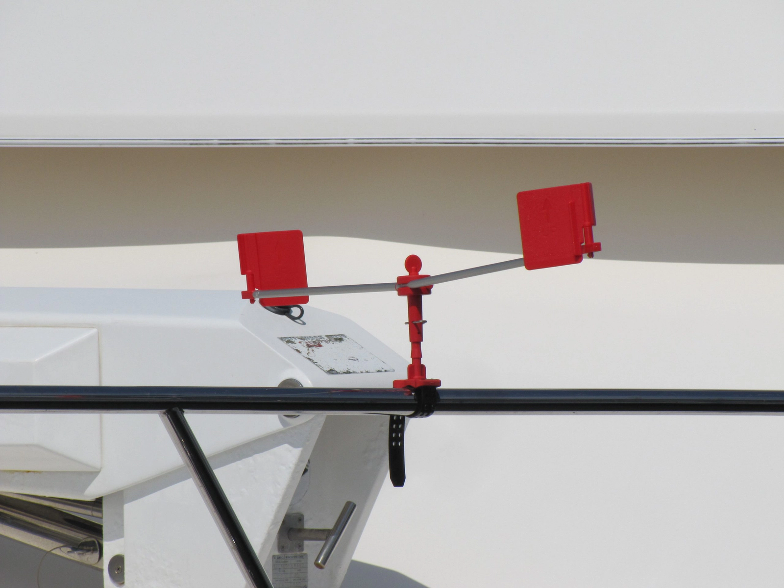
Spare pack of two red flags for the arms of a Bird Busta bird repeller.
Explore →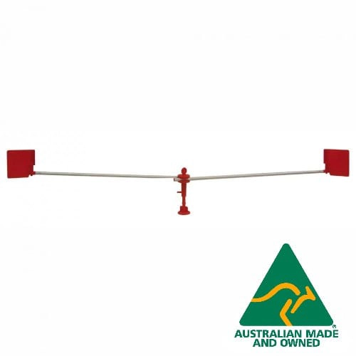
Wind-driven bird repeller with 2 metre rotating arms that keeps birds from roosting on hardtops, biminis, booms and decks. UV stabilised, with a bayonet base and a 12 month warranty.
Explore →