Loading this page…

Loading this page…
About
Public boating and fishing access on the Wooli Wooli River in the Clarence Valley.
Service area: Wooli Wooli River, Clarence Valley
Keep exploring
Wooli Harbour is the public boating precinct on the Wooli Wooli River in northern New South Wales. Visitors use the river for boating and fishing. Check signs at the access point for local launching and parking arrangements.
Public access for boating and fishing on the Wooli Wooli River.
Check signs at the river access point for launching and parking arrangements.
Satellite imagery at four heights, from the wider harbour to the berths.

Expect the usual IALA-B lateral system (red and green), cardinal and isolated-danger marks, safe-water and special marks, plus harbour-specific fairway buoys, leading/transit marks and exclusion or speed‑limit buoys. Check local harbour charts and Notices to Mariners for exact positions and light characteristics before entry.
Explore →
Plan to transit Sydney Heads and northern NSW estuary entrances to take advantage of favourable tidal streams or slack water; account for local acceleration over shoals, eddies, wind-on-current effects and river discharge, and always check the latest local observations and tide/stream products before departure.
Explore →
Usually not for a small sailing dinghy. In NSW a boat driving licence is needed only to drive at 10 knots or more, or to drive a personal watercraft, and a vessel must be registered if it has an engine of 4 kW or more, is 5.5 m or longer, or needs a mooring licence or marina berth. A trailer towed on public roads needs its own registration.
Explore →
Plan as a chain of conservative daily legs tied to your boat’s real-world fuel and speed in the expected sea state, with confirmed primary and alternate anchorages/berths, fuel legs and back-up fuel options, and a documented emergency/diversion plan (comms, tow and med-evac). Build tidal and weather gates into each leg and carry chart and comms redundancy.
Explore →Practical guidance for recreational sailors in New South Wales on navigating marine parks, using moorings and anchoring responsibly. Covers how to plan passages, approach moorings, set and retrieve an anchor, minimise environmental impact and follow local rules.
Explore →A practical guide to selecting and using anchorages around New South Wales for cruising sailors. Covers sheltered bays, tidal considerations, holding, approach planning, and example anchorages with local conditions to check before you go.
Explore →Practical guide for recreational sailors planning passage on the Hawkesbury River: how to plan around tides, choose anchorages, read local conditions and prepare the boat and crew for a safe, comfortable trip.
Explore →A practical guide for recreational sailors planning day sails or short cruises around Batemans Bay, Broulee and the Clyde River. Covers local conditions, safe approaches, anchorages, launching, tides, common hazards, and checklists for trip planning and on-water decisions.
Explore →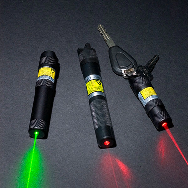
Hand-held, non-flammable laser signalling devices for day and night use, in red, green and Magnum versions, waterproof to 24 m and running for 5 to 72 hours on a battery.
Explore →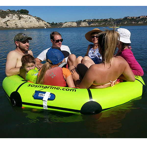
Compact four-person life raft in a valise for inshore and coastal use. It weighs 8.6 kg, packs to 520 x 340 x 170 mm and is serviced every two years.
Explore →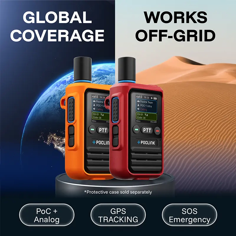
Push-to-talk radio that uses 4G mobile networks where there is coverage and a built-in 16-channel analog radio where there is none, with GPS and SOS. Sold as a two-pack.
Explore →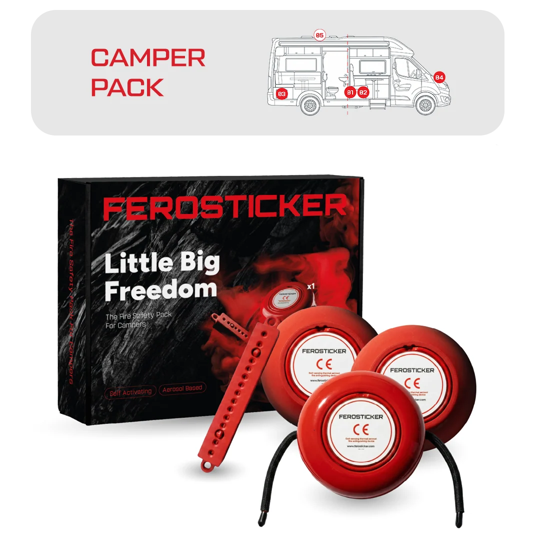
A four-sticker pack (one F01, two F03 and one F09) that puts automatic fire suppression in the electrical panel, battery compartment, gas locker and engine space in one purchase.
Explore →