Loading this page…

Loading this page…
About
Point Piper Marina provides 52 fixed berths for 10–37 metre vessels in Rose Bay, with seven-day dockmaster support, fuel, pump-out, Wi-Fi and onsite marine trades.
Service area: Point Piper / Rose Bay, Sydney Harbour, NSW
Keep exploring
The marina places owners beside the broad eastern harbour, with city landmarks and harbour beaches only minutes away.
Published facilities include a fuel dock, free sewage pump-out, complimentary Wi-Fi, water and shore power, CCTV and nightly security patrols. Casual berthing and a pick-up/drop-off area are available, while onsite or associated services include brokers, yacht management, marine engineers, electricians, shipwrights and boat detailers. The operator should be contacted for access instructions and berth suitability.
Point Piper opens onto the eastern side of Sydney Harbour, convenient for Rose Bay, Double Bay, the CBD and passages towards the Heads. The area carries ferries, charter boats, racing fleets and recreational traffic, so close attention to harbour rules and wash is essential. Rose Bay offers nearby dining, shops and transport, making the marina practical for both local use and short city stays.
Satellite imagery at four heights, from the wider harbour to the berths.
Recently received AIS vessel positions around Point Piper Marina. The traffic display loads automatically.
Listening for recent AIS positions… this first load can take several seconds.
Customer perspective
★ 4.5 · 59 Google reviews
“Me and my mates were attending a boat function. We came with rods as we were going to fish after. The workers not only called us homophobic slurs but pushed us. Even after my uncle and auntie we’re telling them that we were with them”
“Nice view”
“Great”
“Great place to park a yacht and have breakfast or lunch at the Boat house.”
Adelaide’s metropolitan coast fronts the eastern side of Gulf St Vincent and mixes short, sheltered bay sailing around Holdfast Bay and the Patawalonga with more exposed, open-water sailing north toward Outer Harbour and along the Le Fevre Peninsula. The area suits a wide range of activity — sheltered day sails, club and trailer-sailer racing, short coastal cruising into the Fleurieu and Yorke Peninsula, and launch-and-home-port racing — but demands local knowledge about shipping channels, tidal flows in the Port River/Outer Harbour approaches, and seasonal wind patterns.

Plan as a chain of conservative daily legs tied to your boat’s real-world fuel and speed in the expected sea state, with confirmed primary and alternate anchorages/berths, fuel legs and back-up fuel options, and a documented emergency/diversion plan (comms, tow and med-evac). Build tidal and weather gates into each leg and carry chart and comms redundancy.
Explore →
Plan passages across Spencer Gulf or to Kangaroo Island by basing fuel on your boat’s actual consumption plus a generous reserve, choosing sensible staging/stop options that match your boat and crew, and prioritising shelter and weather windows (gale fronts, strong winds and tidal streams can make the gulf uncomfortable or unsafe). Confirm fuel availability, safe anchorages or marinas on your route, and check up-to-date local weather, tide and navigation information before you go.
Explore →
Pick a protected bay, estuary or river reach where you can rig, launch and arrive on calm water within a short, sheltered transit; choose a site with a good ramp or jetty, clear recovery options and a nearby sailing club, marina or commercial operator for local knowledge and help.
Explore →
Plan the trip by setting a clear route and timeline, checking tides and currents for your passage times, identifying safe anchorages/harbours as escape options, and building a conservative margin for delays and weather changes.
Explore →A practical guide for recreational sailors planning trips in Jervis Bay. Covers typical weather patterns, sheltered anchorages, common hazards, marine park considerations, anchoring techniques and sensible trip planning for day sails and short cruises.
Explore →A practical guide for recreational sailors planning day sails or short cruises around Batemans Bay, Broulee and the Clyde River. Covers local conditions, safe approaches, anchorages, launching, tides, common hazards, and checklists for trip planning and on-water decisions.
Explore →Practical guide for recreational sailors planning day sails and short cruises in Geographe Bay, focusing on launching, local conditions, anchorages and safety around Busselton, Dunsborough and Cape Naturaliste.
Explore →
Practical guidance for recreational sailors planning day trips or short cruises in Moreton Bay — local weather patterns, tides, safe anchorages, common hazards, equipment checklists and sensible trip planning for islands such as Moreton, North Stradbroke and the smaller bayside islands.
Explore →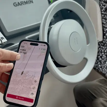
Self-contained, battery-powered plug‑and‑play autopilot designed for standard hydraulic steering systems.
Explore →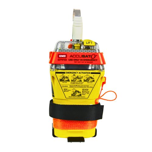
A 10‑year battery EPIRB with integrated GNSS (supports GPS and Galileo), infrared strobe and 121.5 MHz homing signal. Approved for worldwide COSPAS‑SARSAT operation.
Explore →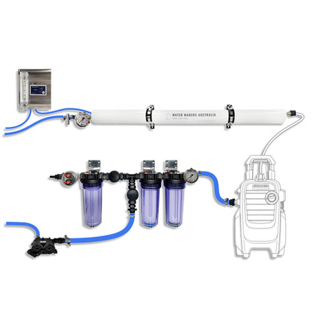
A one-membrane modular marine watermaker with 80 L/h nominal output, remote stainless control panel, standard consumables and direct Australian support.
Explore →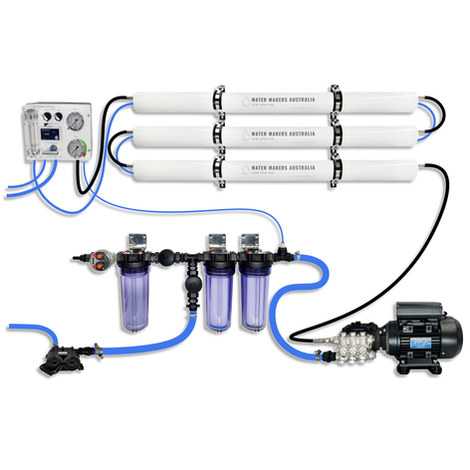
A three-membrane modular watermaker with 200 L/h nominal output and up to 240 L/h family-level marketing, for larger crews and heavy use.
Explore →On the water
2kn
Force 1 · Light air from the WSW
Not enough wind
Ripples, no foam crests