Navigation electronics do three jobs. They tell you where you are, they tell you what is around you, and they steer the boat. A good system does all three from the helm, in the rain, at night, when you are tired.
You do not need all of it at once. You do need a plan, because gear bought piece by piece from different makers is where most of the trouble starts.
What to fit, in order
For a cruising yacht, this order gives the most safety for each dollar.
- Depth and speed instruments. Basic, and you use them every minute.
- A chartplotter at the helm with current charts.
- AIS, and a transceiver rather than receive only, so ships see you too.
- An autopilot sized for the boat fully loaded.
- Wind instruments.
- Radar, for night sailing, fog, squalls and crowded waters.
Chartplotter
- Mount it where the person steering can see and reach it. A plotter down below is a planning tool, not a navigation tool.
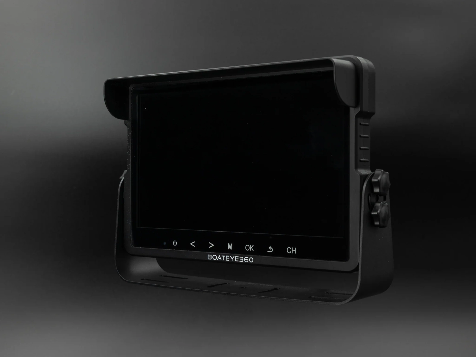
- Choose the screen by how far away you stand. Seven inches works at a tiller. Nine to twelve suits a wheel pedestal.
- Check which chart brands it accepts, and what updates cost each year.
- Touch screens are hard to use with wet hands or in a seaway. Models with buttons or a rotary knob as well are easier offshore.
- A tablet running a charting app is a good backup and a good planning tool. On its own it is a weak primary: screens wash out in sunlight, units overheat and the battery dies.
AIS
- Class B AIS shows you every ship with its name, course, speed and closest point of approach. That removes most of the guesswork at night.
- A transceiver sends your position too. On a small yacht that is the bigger benefit.
- It needs a VHF antenna, either its own or shared through a proper splitter.
- AIS only shows vessels that transmit. Many small boats and fishing boats do not. It supports your lookout. It does not replace it.
Radar
- Radar sees what does not transmit: unlit boats, rain squalls, land and buoys.
- Modern solid state radar draws little power and has no warm up time.
- Mount it high and clear of the crew. A mast mount or a stern pole both work.
- Use it in good visibility first. You cannot learn to read a radar picture in the fog you bought it for.
Autopilot
- On a short handed boat the autopilot is the most used piece of gear on board.
- Size the drive for the boat's loaded cruising weight, not the brochure weight. An undersized pilot overheats and gives up in exactly the conditions you need it.
- Below deck drives on the quadrant are stronger and more reliable than wheel and tiller pilots. Cockpit pilots are fine for smaller boats and for motoring.
- A pilot that can steer to wind angle is worth having on a sailing boat.
- For offshore work, carry spares for the drive or have a second way to self steer.
Making it work together
- NMEA 2000 is the standard network. Depth, wind, GPS, AIS, autopilot and engine data all share one backbone cable.
- Gear from different makers generally shares basic data over NMEA 2000. Radar and some autopilot functions usually need to be the same brand as the plotter.
- Decide on the plotter brand first. It settles the radar and often the pilot.
- Keep the network simple and label it. Most faults are a bad connector or a missing terminator.
Power
- Add up the draw. Plotter, radar, pilot and instruments together can be a large share of a small boat's daily budget on passage.
- The autopilot is usually the biggest load under sail. A balanced sail plan cuts it sharply.
- Voltage drop upsets electronics. Run cable of the right size, and fuse each device.
Backups
- Carry paper charts or a second independent device for the waters you sail.
- Keep a handheld GPS and a handheld VHF charged and reachable.
- Know how to navigate if the screens go dark. Electronics fail most often in the same conditions that make navigation hard.
How the network fits together
VHF radio
A fixed 25 watt VHF with DSC and a masthead antenna is still the primary way to call for help near the coast and to talk to ships, marinas and marine rescue. Connect it to GPS, program your MMSI, and hold the right operator certificate. Add a handheld for the cockpit and the grab bag.
Calculators
Calculator
Electronics power use
What the navigation gear draws over a day on passage.
- 146 Ah
- 6.1 A
Calculator
VHF and AIS range
VHF and AIS reach only a little past the horizon, so antenna height sets the range.
- 20 nm
- 12 nm
Calculator
Cable voltage drop
Check a cable is heavy enough for its run before you pull it.
- 0.53 V
- 4.4%
- Too much for electronics, acceptable for lights
Satellite internet and weather
A satellite terminal changes weather routing and contact with home, and it draws real power: often 50 to 100 watts while on. Run it for set windows, not all day, and count it in the power budget above. Keep a way to get forecasts that does not depend on it, such as VHF broadcasts near the coast.
The words on the box
- NMEA 2000: the current data network. One backbone, plug in devices.
- NMEA 0183: the older point to point wiring. Still used by many VHF radios and older gear. Needs a converter to join a new network.
- MFD: multifunction display. A chartplotter that also shows radar, sonar, engine data and cameras.
- Class B SOTDMA: the newer, stronger kind of small craft AIS transceiver. The older kind is Class B CSTDMA.
- DSC: digital selective calling. The red button on a VHF.
- MMSI: your vessel's nine digit radio identity, used by DSC and AIS.
- CPA and TCPA: closest point of approach, and the time until it.
- Doppler radar: colours targets by whether they are closing or going away.
What each item draws
| Item | Typical draw at 12 V | Hours used on passage |
|---|---|---|
| 9 inch chartplotter | 1 to 2 A | 24 |
| Instruments, three displays | 0.3 to 0.6 A | 24 |
| AIS transceiver | 0.2 to 0.5 A | 24 |
| VHF on standby | 0.3 to 0.6 A | 24 |
| Autopilot, below deck | 2 to 6 A average | 24 |
| Solid state radar, transmitting | 1.5 to 2.5 A | As needed |
| Satellite terminal | 4 to 8 A | A few |
Figures vary by model. Read the installation manual, not the brochure.
Where the screens go
- The steering position gets the plotter. If there are two wheels, mount it where both can see it or fit a repeater.
- Wind and depth where the helm reads them without turning away from the sails.
- A second display at the chart table earns its place on boats that do night passages, so the off watch can check without going on deck.
- Keep screens out of the companionway line where crew grab for handholds.
Antennas and the mast
VHF at the masthead, AIS on its own antenna lower down or through a splitter, GPS with a clear sky view, radar clear of the crew's heads and above the boom. Keep transmitting antennas a metre or more apart where you can. Every mast cable should have a drip loop and a joint you can undo when the mast comes out.
Updates and backups
- Update plotter software and charts before the season, at the dock, not the night before a passage.
- Save waypoints and routes to a card and keep a copy ashore.
- Write the network layout on a card with fuse locations, and keep it at the chart table.
Buying used
Displays and instruments from the last generation are sound buys if the maker still supports the charts. Avoid old radar and autopilot computers with no parts support, and anything whose transducer is no longer made.
Common questions
Can I mix brands? For depth, wind, GPS and AIS, yes, over NMEA 2000. Keep radar and plotter the same brand, and check autopilot features before mixing.
Do I need radar if I have AIS? They do different jobs. AIS shows vessels that transmit. Radar shows everything that reflects, including squalls and unlit boats. Coastal day sailors can skip radar. Night and offshore sailors should not.
Is a tablet enough to navigate on? As a backup, yes. As the only system, no. It overheats, washes out in sun and is not waterproof where you need it.
How often should charts be updated? At least once a year, and before any passage to new waters. Check notices to mariners for the area.
Tutorials
Step by step guides are listed at the top of this page and in the sidebar: planning a system, building an NMEA 2000 network, installing AIS, choosing an autopilot, and setting up DSC on your VHF.